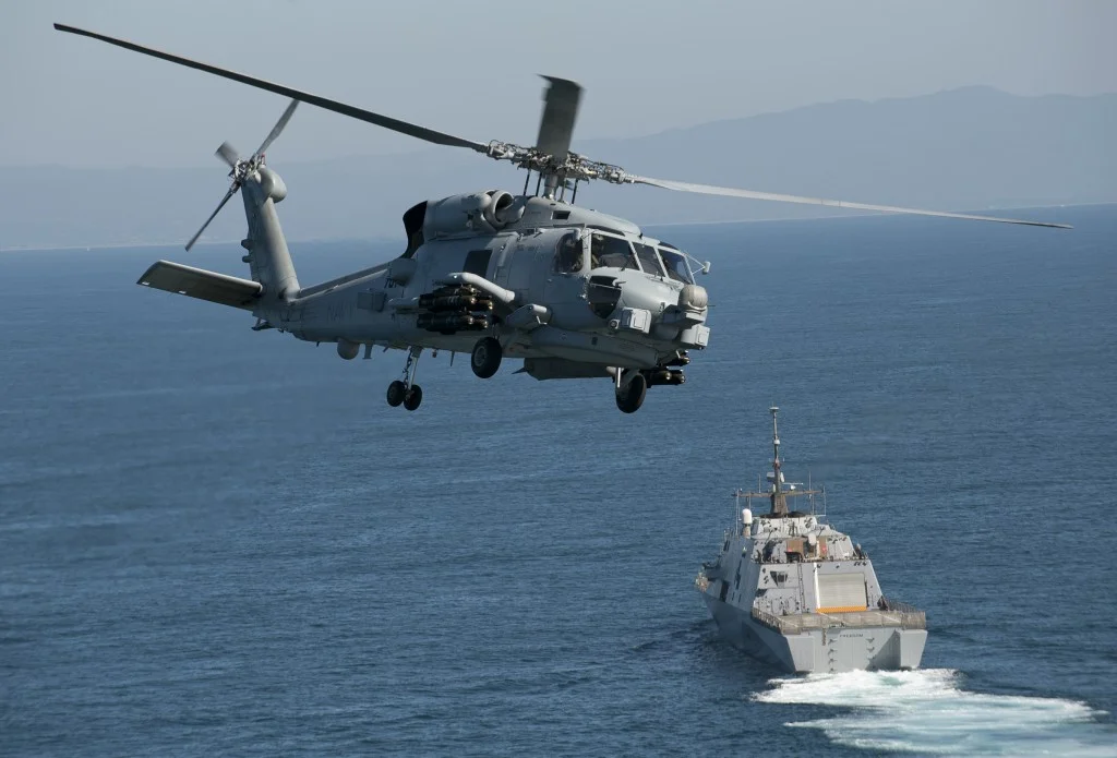
Enlisted Naval Cryptologists monitor the Electromagnetic Spectrum (EMS) via their AN/SLQ-32B Electronic Warfare (EW) Suite
Mobile interactive World (MiWorld)
THE CHALLENGE
The means to Observe, Orient, Decide and Act (OODA) remains a largely intuitive capability that warfighters practice whenever they are "On-Watch", "In-Flight", or as they hone their skills during a lengthy multi-dimentional War Gaming scenario at the Naval War College (NWC), or across tomorrow's distributed wargaming networks. The issue at hand is finding a better way to rapidly share (or cognitively transfer) the active state of the tactical picture to another person. Deployed warfighters understand this need, as it is part of the operational routine exercised whenever they transition "tactical control" to the person or team members relieving them at their shipboard or aircrew watch station. The task is handled differently across various operational communities, but often involves review of chronologically recorded "Watch Log" entries; review of any changes in the "Battle Orders"; verifying equipment status (Fully Ready, Degraded and Estimated Time of Repair, etc); overseeing the dynamics of the "Here and Now" including insights on recent surveillance activities and entities on the "Tactical Watch List"; verification of planned significant events (changes in operational readiness posture, or restricted maneuvering events); and review of when specific actions (commanded or otherwise) are to take place. In reality, this is just a sampling of some operational procedures warfighters go through around the clock, and it often parallels related OODA loops that occur within a typical watch cycle.
From a technical standpoint, the high-density displays fielded in today's mobile computing devices can outperform even the high-end display systems deployed aboard ships and aircraft fielded a year or two ago. However, it's the lack of software and data behind these mobile displays that hold them back from being something valuable to our warfighters. Its unlikely that the mobile devices will replace the proven mission and combat systems watchstanders and decision makers rely upon, but they could play an increasingly important role in conveying the mental model of the current tactical picture from one watch stander to another, and this opportunity should be explored and evaluated as a viable watch stander augmentation tool. iCode's Mobile interactive World (MiWorld) App is designed to assist sailors in discovering the art of the possible. iCode is seeking feedback from fleet watch standers, US Naval Academy (USNA) students, and NWC participants on how we can extend the baseline solution to address their emerging information needs.
OUR BASELINE SOLUTION
iCode's MiWorld App incorporates a core features even John Paul Jones would recognize and immediately appreciate - the Chart. MiWorld's embedded Geo-spatial Mapping Engine includes embedded caching features so that raster, gridded, and vector-based mapping content is readily available on the mobile device so that rendering maintain responsive behavior to touch and gesture based actions. If a network connection to a Web Mapping Service (WMS) is available updated mapping content can be downloaded for future use. Network access to navigation-oriented feeds providing ownship positional updates can be used in a "Follow-Me" display mode to keep the Map centered and oriented based on the latest ship/aircraft location and heading. Dynamic overlays of track-centric content are also provided in the baseline release when MiWorld has a network connection to a designated Track Server Gateway (TSG) configured to provide Automatic Identification System (AIS) broadcast feeds and / or local track content. Secure Chat capabilities are also integrated into the MiWorld application. Multi-User Chat (MUC) and Peer-to-Peer (P2P) chat options are supported, and compatible with Unified Capabilities (UC) Collaboration Products (CP) used on Department of Defense (DoD) networks (e.g., NIPRNet, SIPRNet, JWICS).
EXTENSIONS TO OUR BASELINE SOLUTIONS
Extension to baseline capabilities embodied in the MiWorld app are in the works. These extensions will be available as MiWorld Add-In's. Route Planning App-Ins can be used to facilitate the interactive generation, display, and local (on-device) storage of route segments (legs) making up a Plan of Intended Movement (PIM). Furthermore, these PIM files can be exchanged with other MiWorld participants and other applications capable of rendering Keyhole Markup Language (KML) based overlays. Additional Mission Planning (MP) capabilities can be added supporting the generation and display of shape-based overlays that are useful in defining geo-spatially defined areas called GeoZones. GeoZones are useful in defining areas that can trigger Indications and Warning (I&W) Alerts when ownship or a designated track entity crosses in-to or out-of a GeoZone. Dynamically updated GeoZone shapes can also be linked to ownship position updates. I&W Alerts can be audio and visual in nature, notifying the MiWorld user each time it is triggered. Like PIM files, MP files are also stored and exchanged as KML-based files.
Other add-in capabilities can be integrated to support the display of Imagery-oriented content Files (e.g., JPG, and NITF) and Full Motion Video (FMV) Streams including those compatible with STANAG-4609 Key Length Value (KLV) encoded MPEG-TS streams output by many Electro-Optical / Infrared (EO/IR) sensors. Future add-in services are aligned with automated processing and display of passive intercept (Contact) reports obtained through Electronic Support (ES) sources. This particular capability does not include automated emitter classification / identification processing, but this can be added through an additional add-in. Inverse Synthetic Aperture Radar (ISAR) image processing analysis routines are envisioned to automate the collection of Length Overall and Width Overall values. Content correlation services will be added to assist users in associating geo-spatially tagged content to track-oriented content, reducing the workload associated with developing historical observations on Critical Contacts Of Interests (CCOIs). The means to overlay Acoustic contacts can also be accounted for to facilitate distributed awareness of and tracking of potential submarine contacts.
AVAILABILITY
The layered MiWorld software architecture is computing mobile platform agnostic. While our initial implementation will run as a native application on the iPhone 6 / 6 Plus, iPad Mini, iPad Air, iPad Pro devices, with native Android App implementations are planned for 2017.
“Where would I use MiWorld? ...Anywhere I could use enhanced Situational Awareness!”
Click (to the right and left) to see various MiWorld Map View Examples
LOOKING FOR BETA TESTERS


